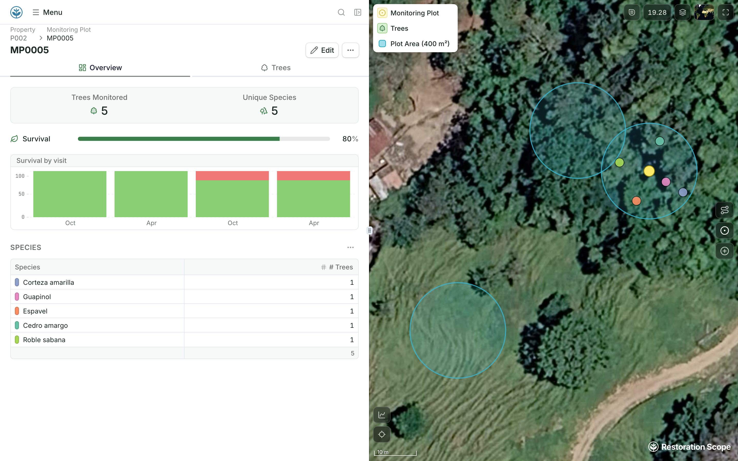
Seasons and survival, already linked
Each site holds its monitoring plots, and each plot its visits and survival rate, configured for your project with our team.
Restoration Scope gives field teams a configured app that works offline and keeps every visit linked to its site, season after season, in the system that runs the whole project. QField takes a QGIS project into the field with geometry editing, and it is open source.
 Restoration Scope
For most restoration and carbon projects, Restoration Scope: field teams get a configured offline app, every visit stays linked to its site, and field, office and funders work from the same records, with no QGIS project to maintain. QField is the better pick if you already work in QGIS, have someone to own the project and need GIS editing in the field; it is open source with no licence cost. Existing QGIS layers come into Restoration Scope rather than being rebuilt.
Restoration Scope publishes this comparison and is one of the options. We list it first because we think it's the best fit for most projects: it adapts to each project and grows with it, and covers operations and costs as well as fundraising and reporting. No vendor paid to be included. Something out of date? Write to info@restorationscope.com.
| Restoration Scope |  QField | |
|---|---|---|
| What it is | A restoration data platform with a configured field app. | An open-source field app (GPL v2+) from OPENGIS.ch for Android, iOS and desktop that takes QGIS projects into the field. |
| Cost | A free pilot on a sample of your data, then a platform license plus implementation, quoted after a scoping call. | As of October 2026: the app is free. QFieldCloud Community is free with 100 MB of sync space; Flat is €18–23 per user a month, or €14 for 20 or more users billed yearly; Flex is €28 per active user a month; Enterprise is by quote. Nonprofits can ask for free or discounted plans, and the server can be self-hosted. |
| Who sets it up | Configured with our team around your project. Someone on your side owns the workflow. | Usually someone who owns the QGIS project, layers and forms on desktop. Simple projects can start in the app. |
| Offline capture | Restoration Scope Field works offline: points, lines, polygons and photos. | Online or offline, syncing by cable or through QFieldCloud. |
| GPS accuracy | Phone GPS, with accuracy warnings and jump filtering when walking boundaries. | Phone GPS, or an external high-precision GNSS receiver with NTRIP corrections. |
| Editing geometry | Points, lines, polygons and photos on the project map. | Field geometry editing: snapping, vertex editing and freehand drawing, with GeoPackage, KML, GPX and georeferenced PDFs. |
| Seasons and survival | Sites, nurseries and visits are linked records, configured for your project. | Possible if your QGIS data model links visits to sites. You build and maintain it. |
| Donor reporting | Donor portals built from the same records the team keeps. | Maps and reports made in QGIS, and PDF exports from QField itself. |
QFieldGIS work happens in QGIS and QField. QGISLayers come in as files: Shapefile, GeoJSON, KML and KMZ, GeoTIFF.Restoration ScopeThey join the sites and records on the project map.
QGIS layers come into Restoration Scope as files (Shapefile, GeoJSON, KML and KMZ, GeoTIFF), so GIS work done in QGIS and QField is not rebuilt.
Checked against QField's own pages on October 17, 2026: QField, Documentation, External GNSS, QFieldCloud pricing, Land restoration and conservation.
These are Restoration Scope screens from our demo project and a public donor portal. To see QField, visit its own site.
Each site holds its monitoring plots, and each plot its visits and survival rate, configured for your project with our team.
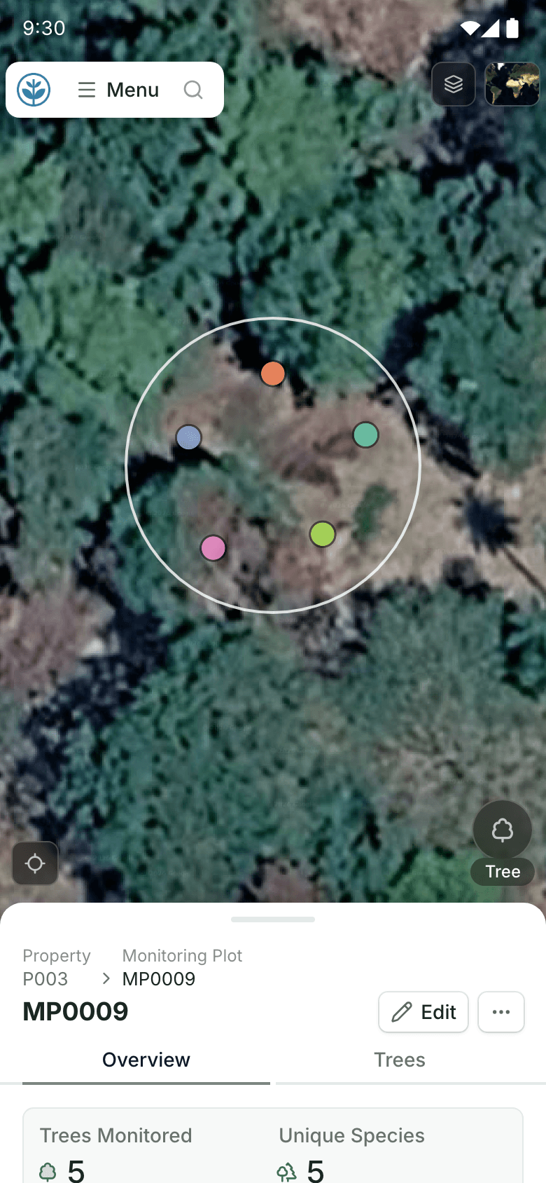
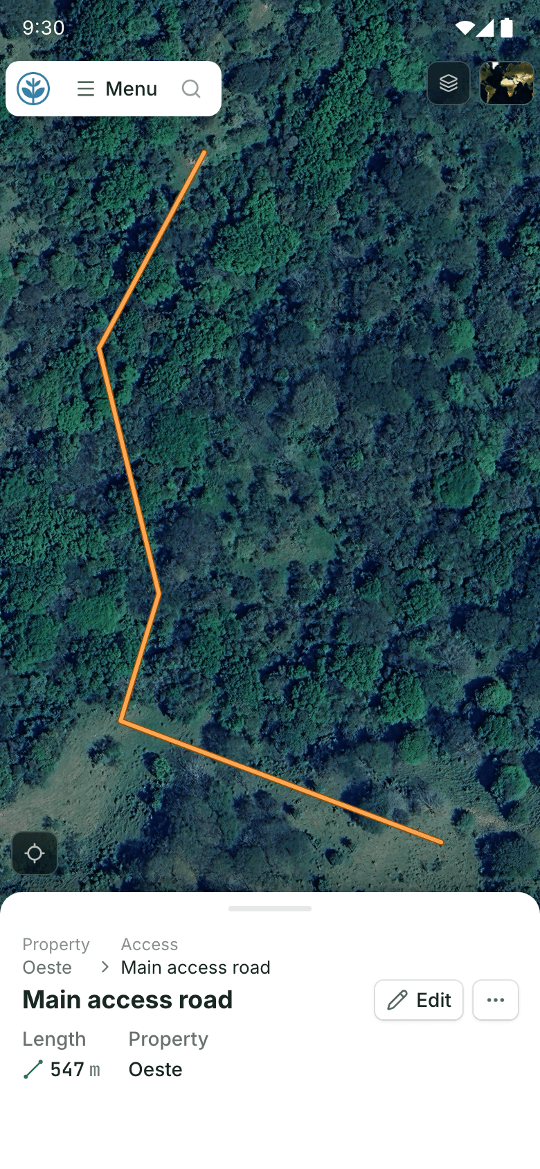
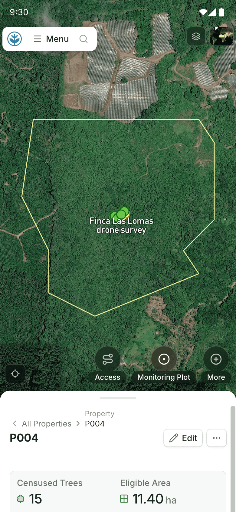
Field teams draw or walk points, lines and polygons in Restoration Scope Field, and each one is saved to its site.
QField takes QGIS projects into the field, one part of a network of tools around QGIS. Restoration Scope is an adaptable platform with its own field app, so visits, sites and maps live in one system.
Where restoration records live, from word of mouth to custom softwareFor running restoration and carbon projects, yes: field capture, sites, maps and reporting in one system. For detailed GIS editing in the field, such as snapping and many layers, QField is the better tool.
The app is open source and free. As of October 2026, QFieldCloud, the sync service, has a free Community tier with 100 MB, paid plans for teams, and free or discounted plans for nonprofits.
QField does: it documents high-precision GNSS receivers with NTRIP corrections. Restoration Scope Field records phone GPS, with accuracy warnings and jump filtering when walking boundaries; for survey-grade points, use QField or a GNSS receiver's own app.
Yes. GIS files come in beside spreadsheets and survey forms, tied to the sites they describe.
Another question? Email us or book a call.
Bring in the spreadsheets, field forms and maps you already use, and see every site in one place.