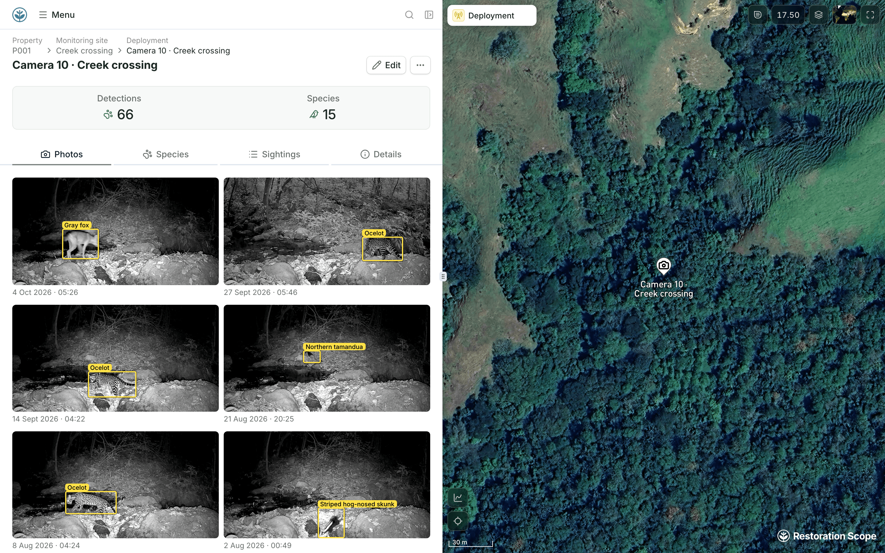
Organize the sites and survey visits.
Link monitoring locations with sampling events and the people collecting the records. Keep the survey context available alongside each observation.
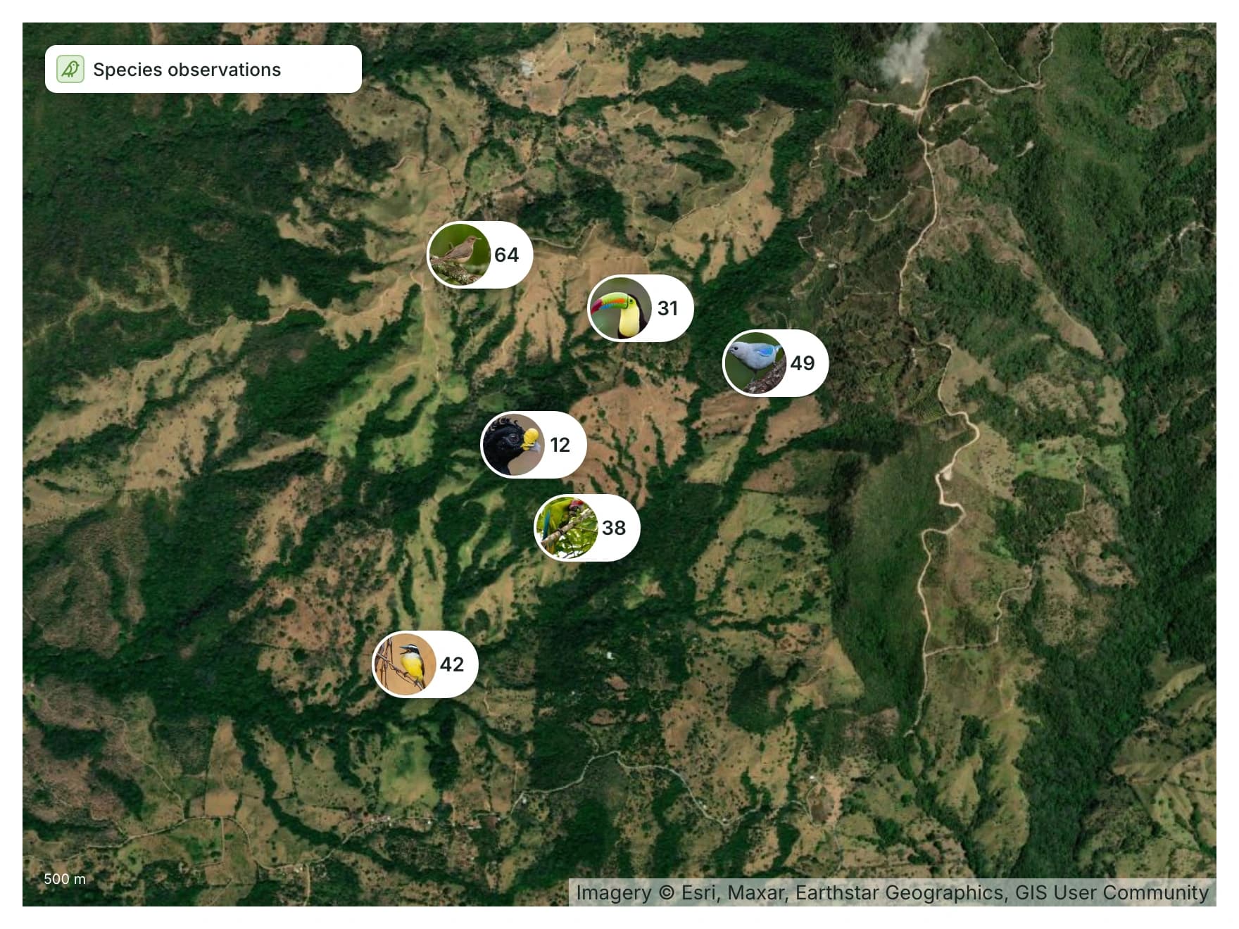
Monitoring data, connected to its context. Bring species observations, survey sites and supporting media into one operational view. Keep the evidence connected to where, when and how it was collected.
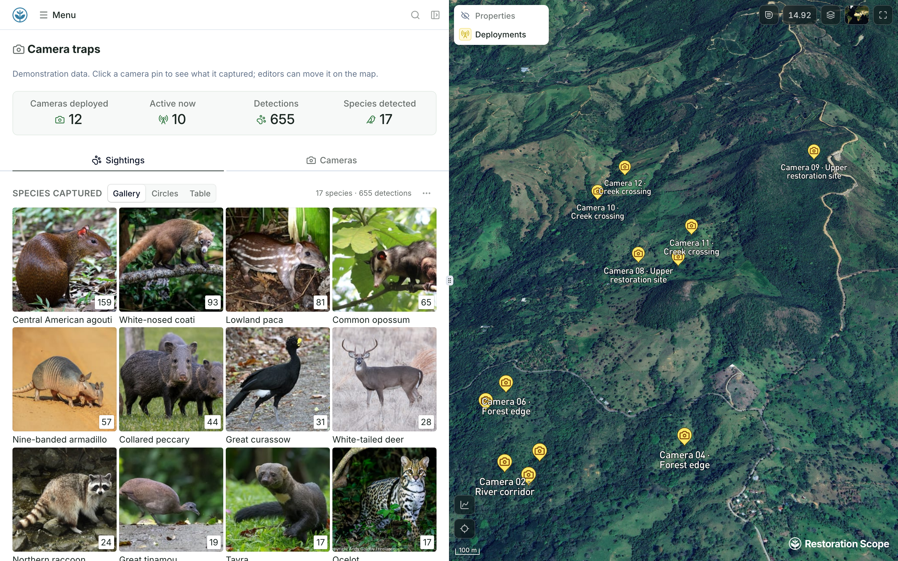
Camera traps, acoustic recorders, light traps and bat detectors each leave their own files. Keep every record with the device, the site and the visit that produced it.
A starting point to configure with your field and research teams.
Link monitoring locations with sampling events and the people collecting the records. Keep the survey context available alongside each observation.
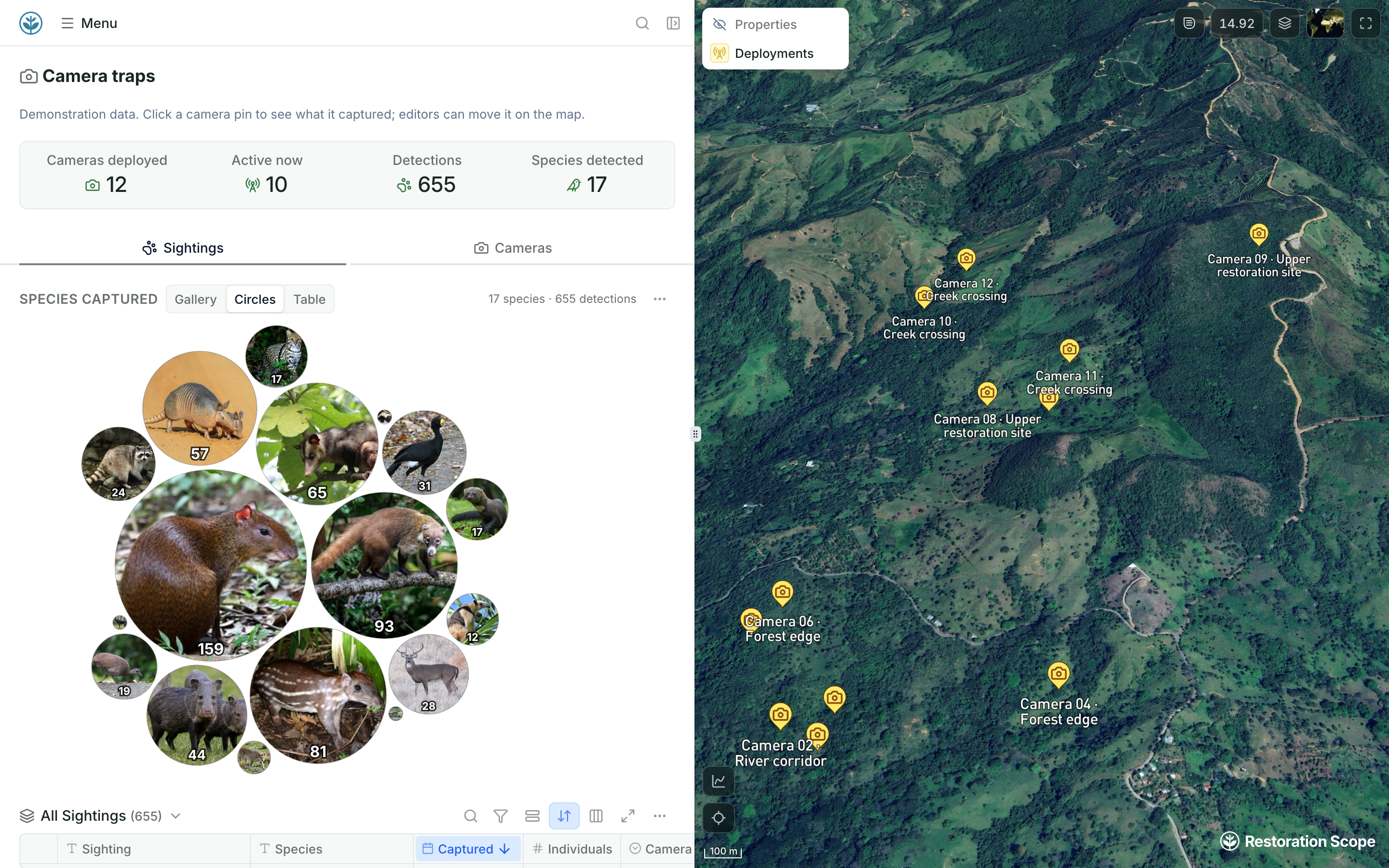
Bring species records and supporting photos into the same view. Review the information collected at a site without moving between separate files and map layers.
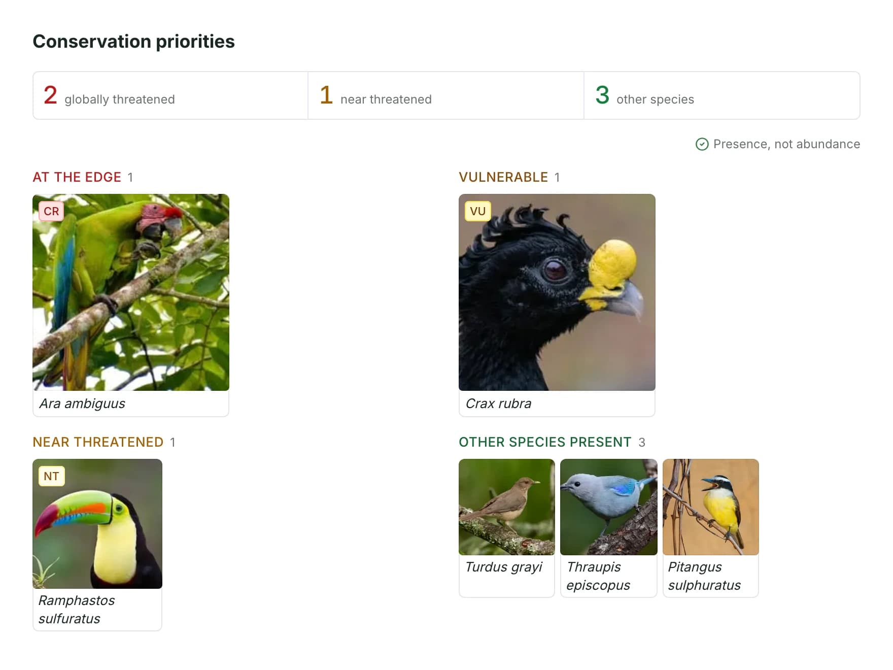
Group the species you record by IUCN threat status and see where each one was detected. Point the next survey at the species that matter most.
Connect the tools, field records and geospatial sources your team already uses.
We can configure the record structure around sites, survey visits and observations. Protocol-specific requirements need to be worked through during setup.
We review the source data and media with you, define their relationships and prepare the import or connection.
Another question? Email us or book a call.
Updated
Bring in the spreadsheets, field forms and maps you already use, and see every site in one place.