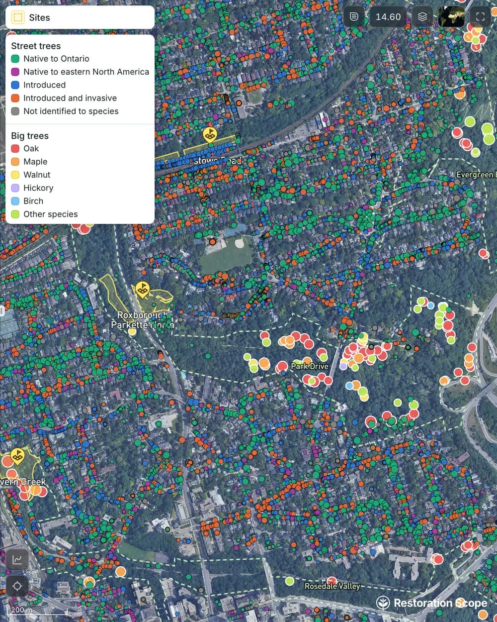
Build a usable tree inventory.
Keep locations, species and size together, beside the city's own tree records. Organize the inventory by neighborhood, ravine or planting site so the team can find the trees it needs to work on.
Urban trees, with a record of every inspection. Bring tree locations, species, condition and maintenance into one current inventory. Help field teams record changes and give coordinators a view of the work across neighborhoods.
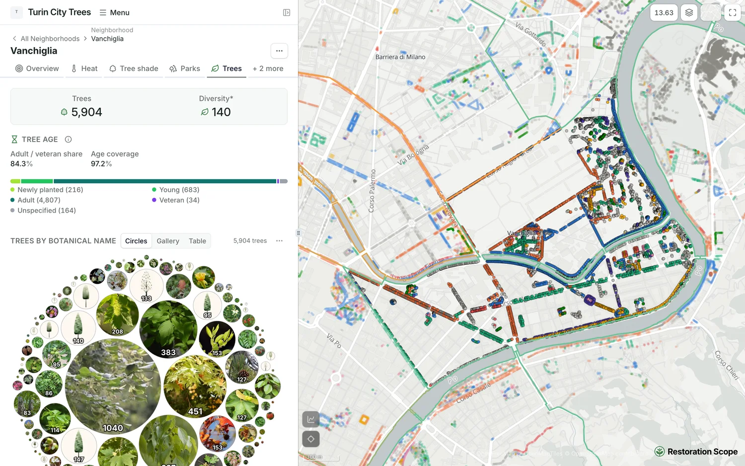




Follow locations, observations and maintenance over time.
Keep locations, species and size together, beside the city's own tree records. Organize the inventory by neighborhood, ravine or planting site so the team can find the trees it needs to work on.
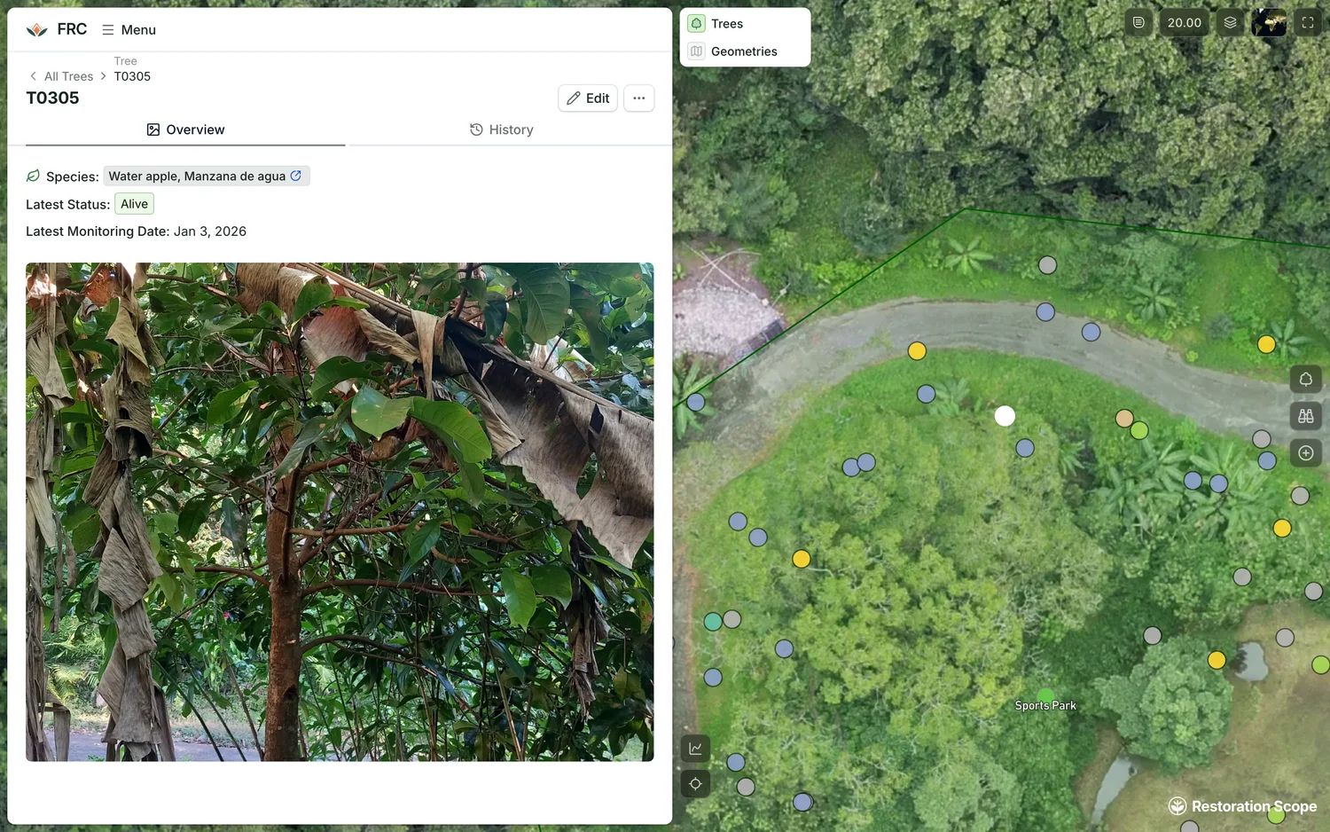
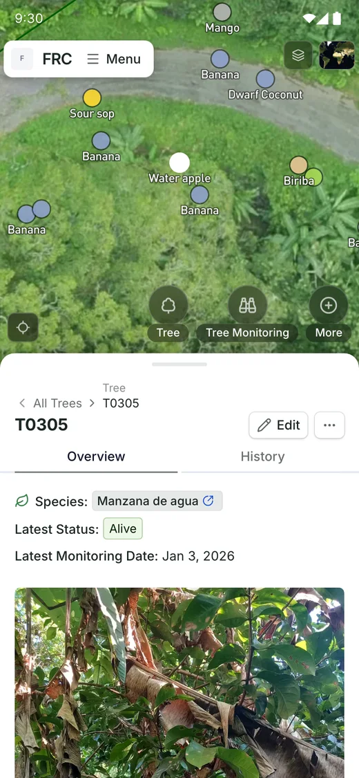
Use mobile records to add observations and photos against a tree or site. Keep the history of inspections and field updates connected to the map.
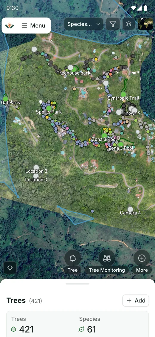
See every tree on the site by species, then open the next monitoring round right there.
Connect the tools, field records and geospatial sources your team already uses.
We can prepare existing records and geospatial files for import, then configure the fields and relationships your team needs.
Repeated observations can be linked to a tree or site, keeping condition changes and maintenance records together.
Views and permissions can be configured around the areas and responsibilities assigned to each team.
Yes. Turin City Trees, which we built from the city’s open data, compares its historic neighborhoods on tree cover and access to parks, the 30 and 300 of the 3-30-300 rule, and shows summer heat alongside.
Another question? Email us or book a call.
Updated
Bring in the spreadsheets, field forms and maps you already use, and see every site in one place.


