How do we start?
Click Create project and answer a few questions about your organization and how your work runs. Then we set up a call. It helps to bring someone who knows the operation and a sample of your data.
Restoration takes years to unfold. The work changes as teams learn, seasons move and operations scale. Start with what is useful now, and build capacity together over the long term.
First, we learn how your organization thinks about its work, for example how farms and farmers relate to each other. We bring years of experience working with nature projects and structuring their data, so those relationships hold together.
Your files, records, maps and photos carry years of hard work. They don’t need to be tidy first, and if you want an NDA, we sign it before you share them.
Then we lay it out for you: how the pieces connect, how your data is structured, where the gaps are and where we see room to improve. We also show what it would take to strengthen your data system, whether you do it yourselves or with us.
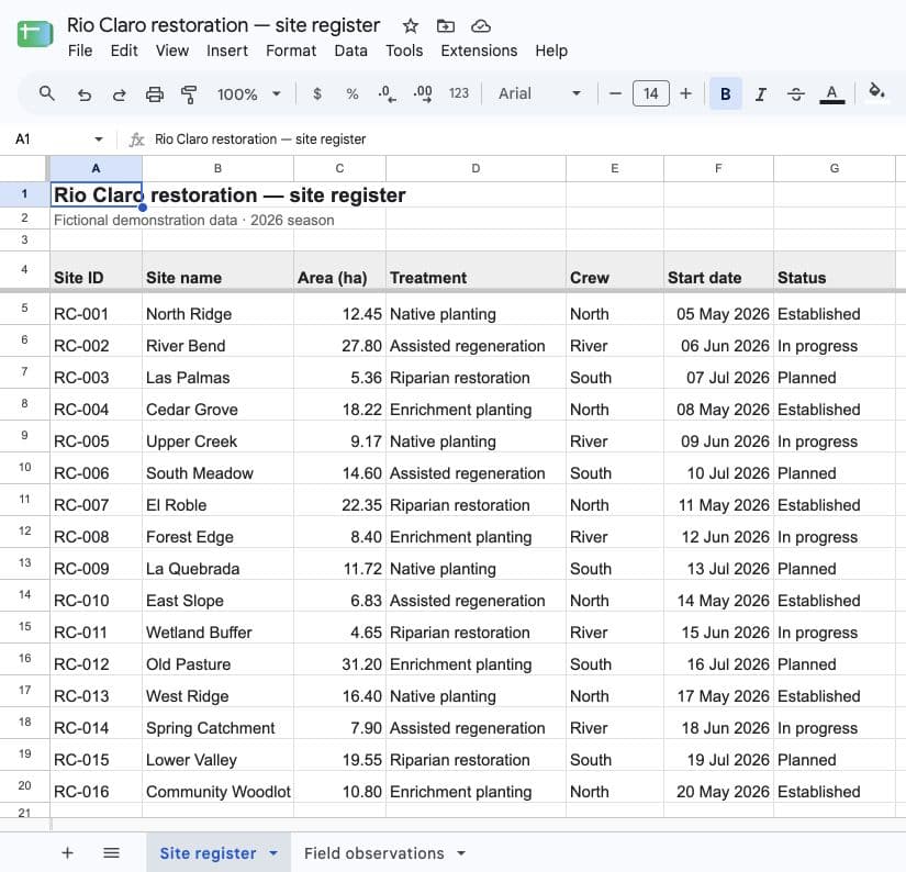
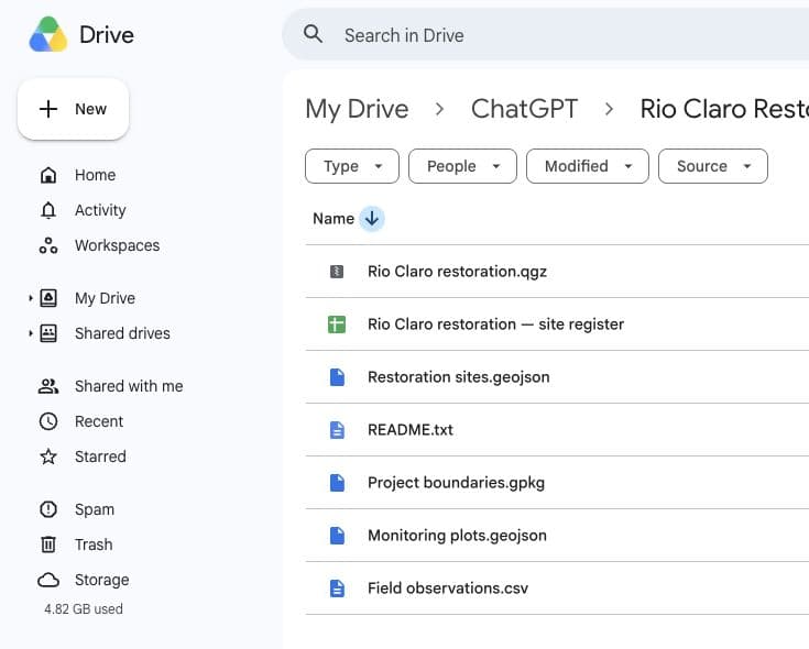
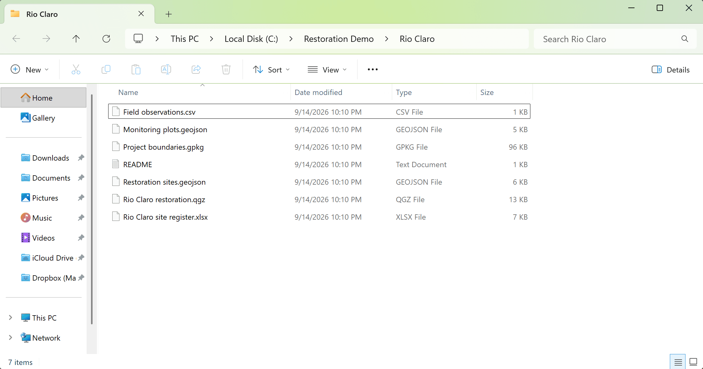
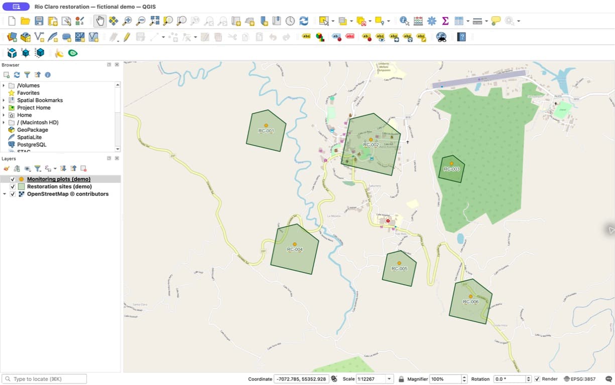
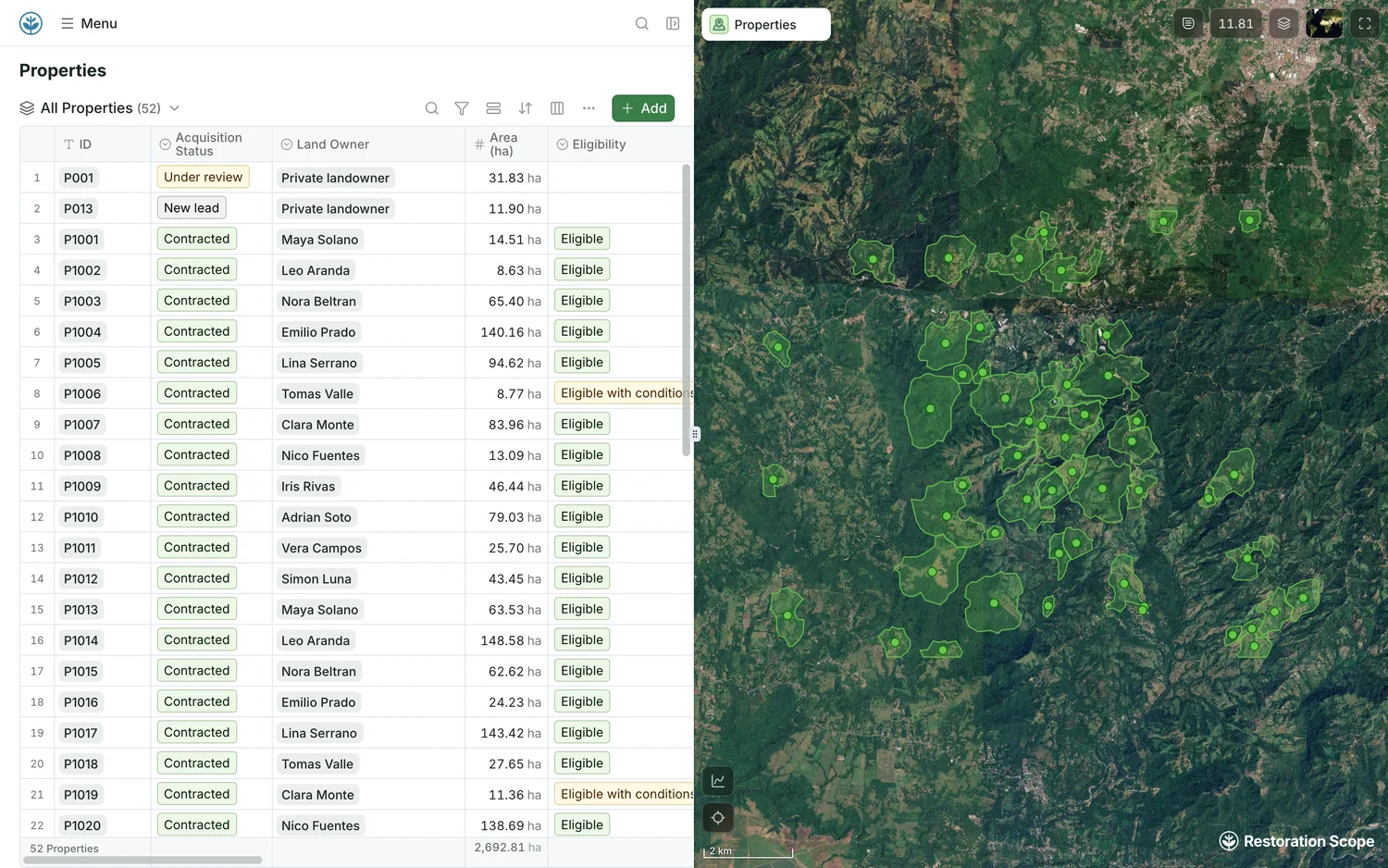
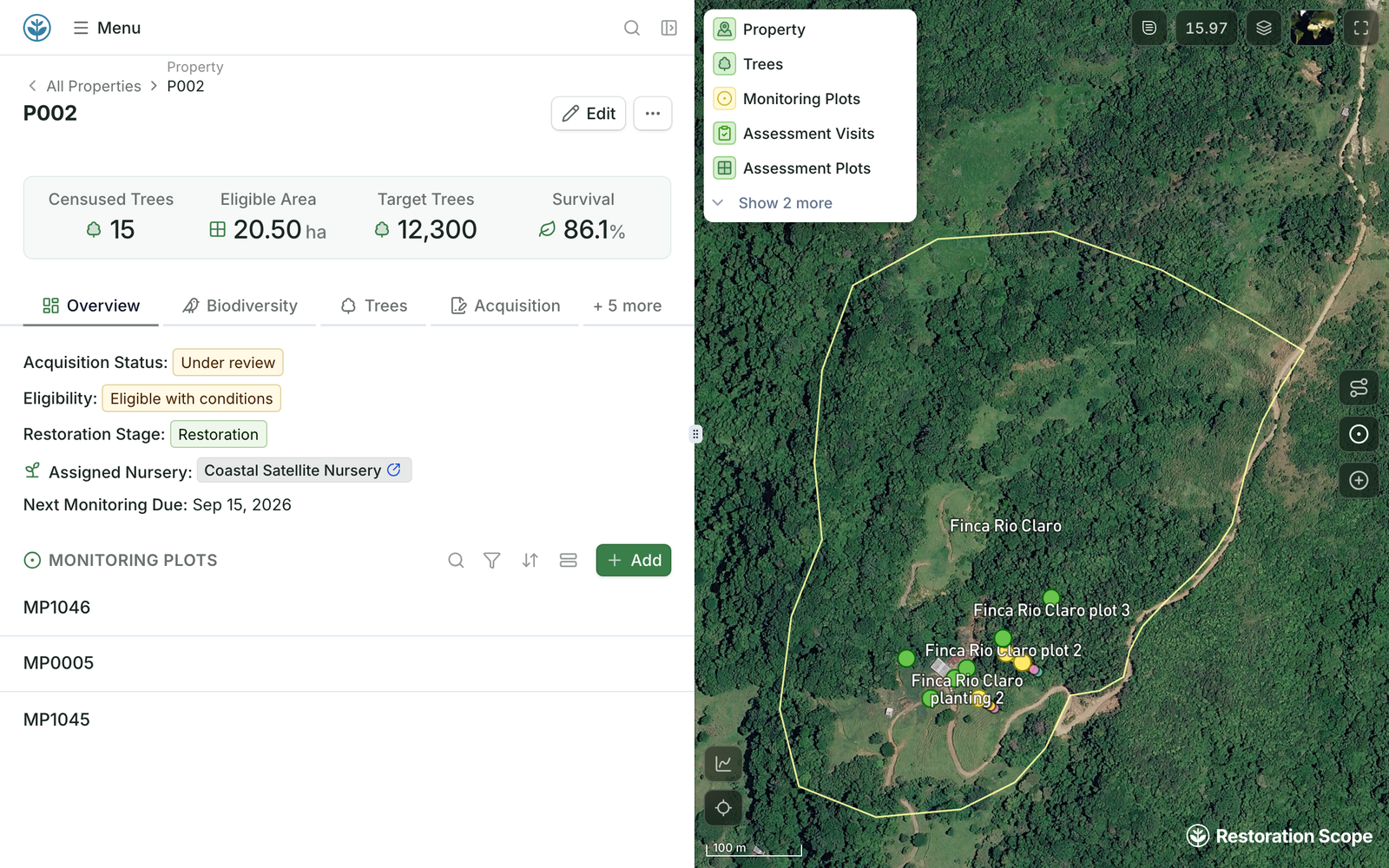
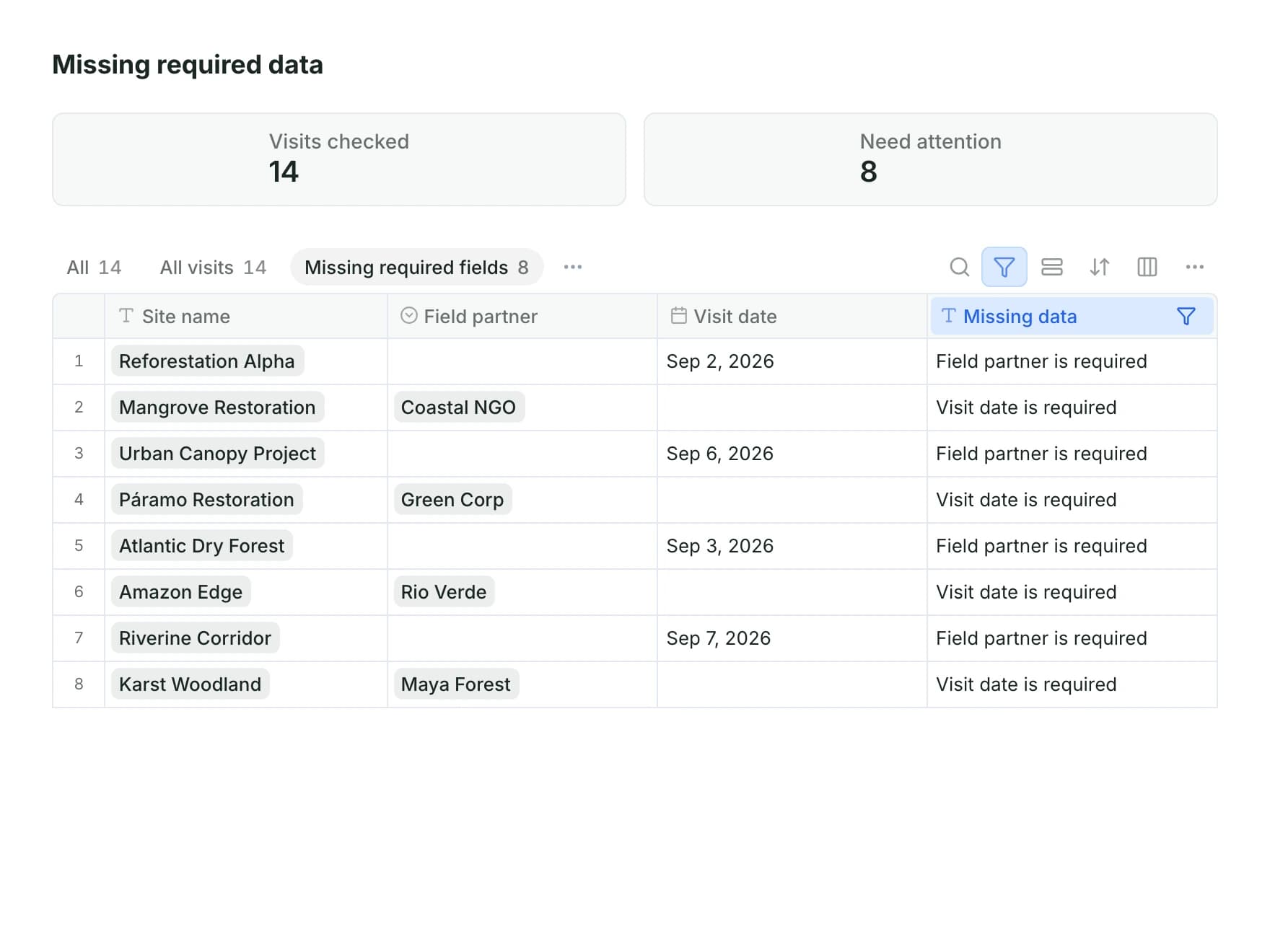
Then, we bring your data together in one shared place, organized around the way your project works. We build views for the different people on your team, connecting records, maps and metrics so each person can understand the information they need and use it to make decisions. See what moving over looks like.
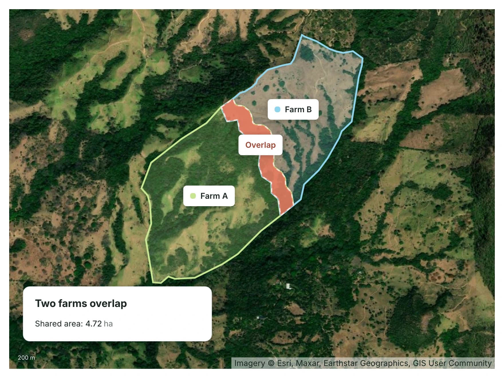
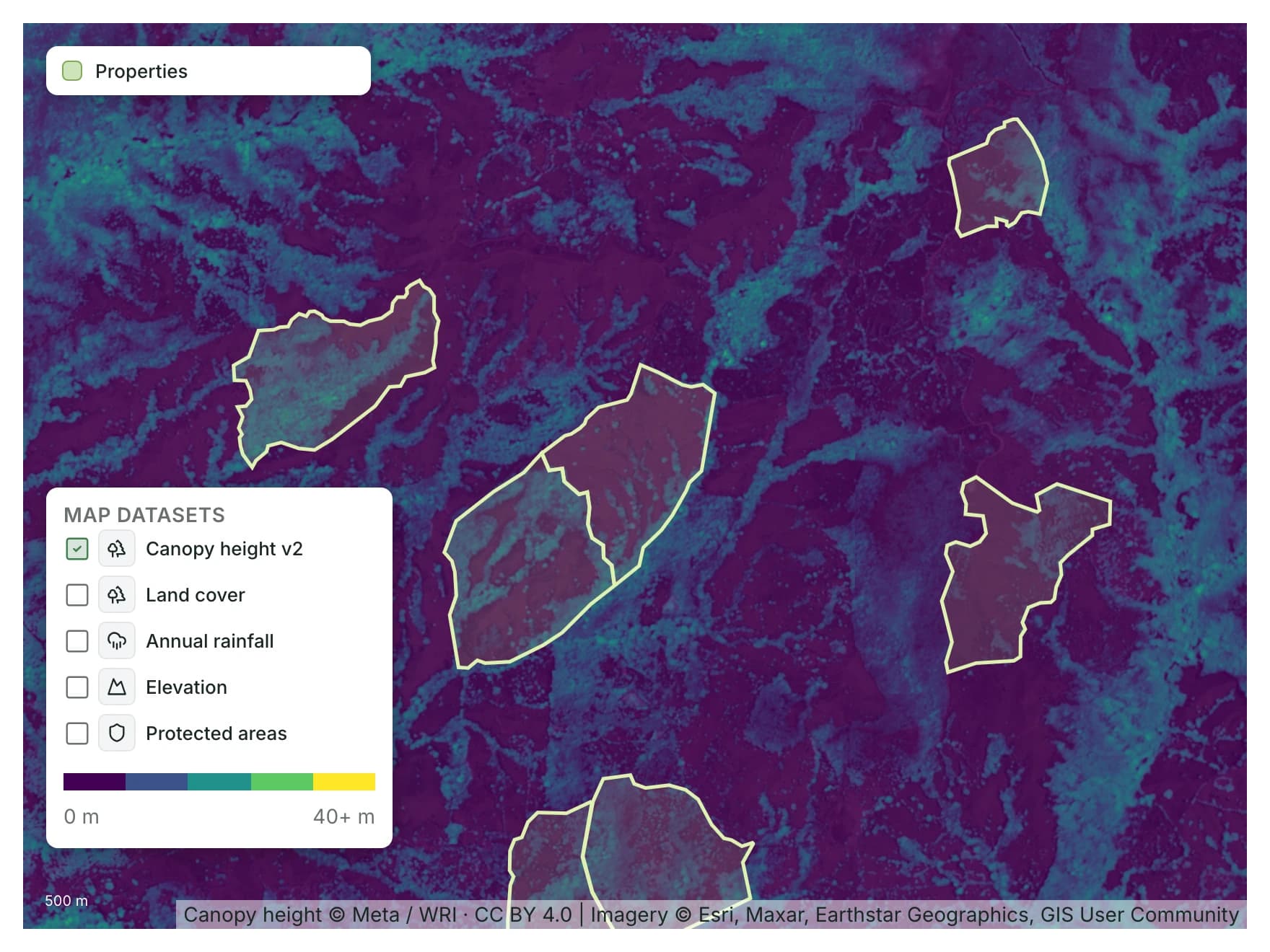
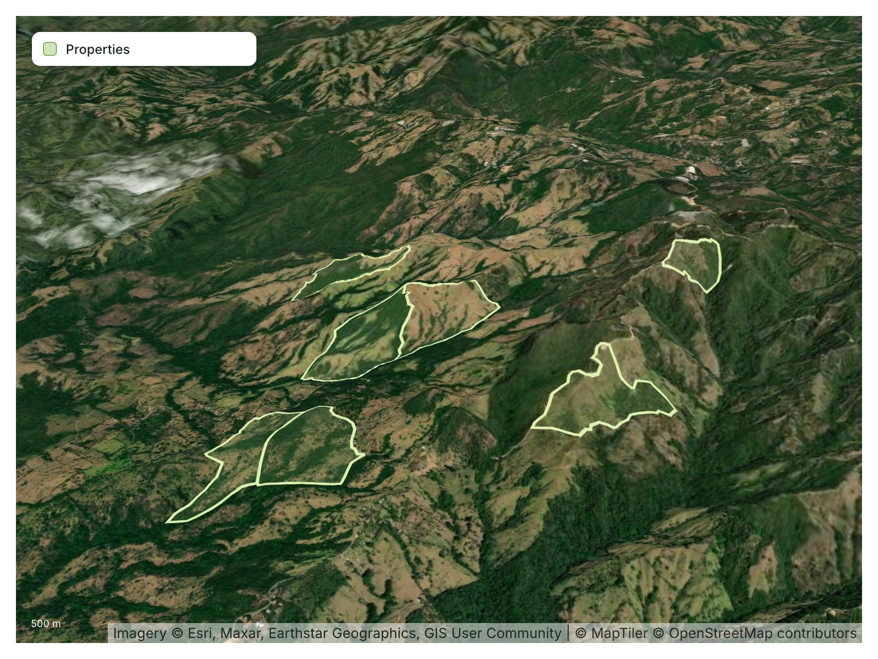
GPS points in a spreadsheet are just numbers. On a map, you see in seconds when points land in the wrong part of the country, bunch up where they shouldn’t, or sit in a grid too regular to be real. As you move around the map, the records behind each place travel with you, so you can finally check what you suspected but couldn’t easily confirm.
Everyone on the team holds one part of the puzzle. When they all see the same map and records, each person can check their part against the data and help work out what is going on.
This article is in preparation. It is not available to read yet.
As new needs come up, we work with the people who know the ground. We learn how your team thinks about the work, then shape the software around it.
You add one piece at a time, at a pace your team can support. When nothing we have fits, we build it on the same platform.
Explore the platform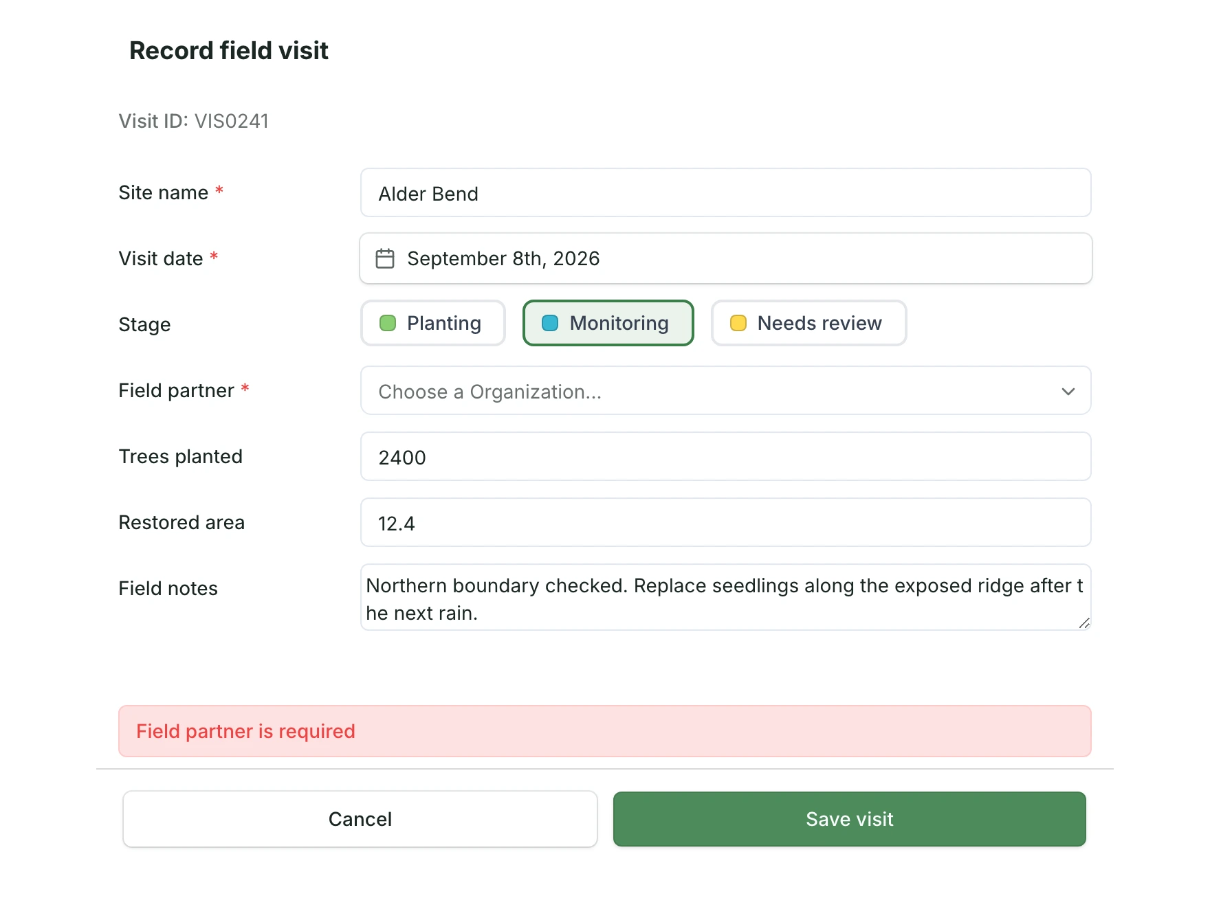
This article is in preparation. It is not available to read yet.
Over time, seasons change, practices evolve and projects scale. We stay in touch. Message us with a question, or with something you noticed along the way, and we adjust the system with you.
We also carry part of the complexity. We keep technical notes on how all your pieces fit together, so anything you add later builds on what is already there.
Restoration unfolds over years and decades. We are in it with you for the long term.
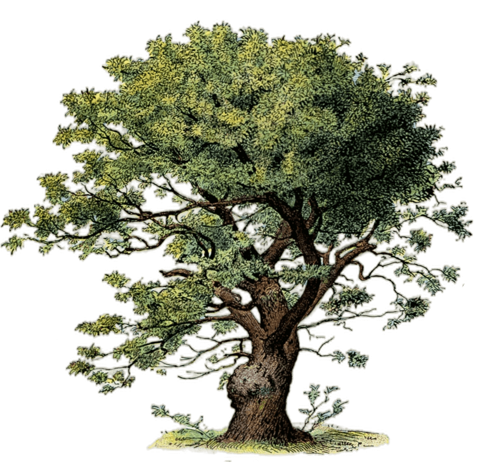
Sweet chestnut
Castanea sativa
Click Create project and answer a few questions about your organization and how your work runs. Then we set up a call. It helps to bring someone who knows the operation and a sample of your data.
Your data remains yours. If you want an NDA, we sign it before you share any files, and we agree how they will be accessed and handled. What we find is yours to use however you choose.
We start with what your team already uses. Together, we decide what to connect, what to keep, and where a change would help.
The platform license covers the shared platform. Implementation is scoped separately, adding modules or custom work around concrete needs. The license is not priced per user or per hectare.
Another question? Email us or book a call.
Bring in the spreadsheets, field forms and maps you already use, and see every site in one place.