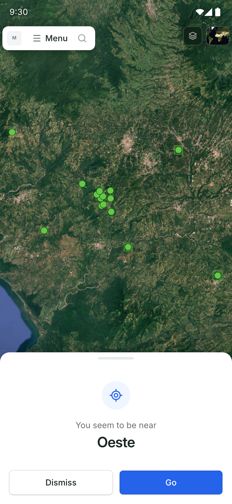
Locate yourself in the project.
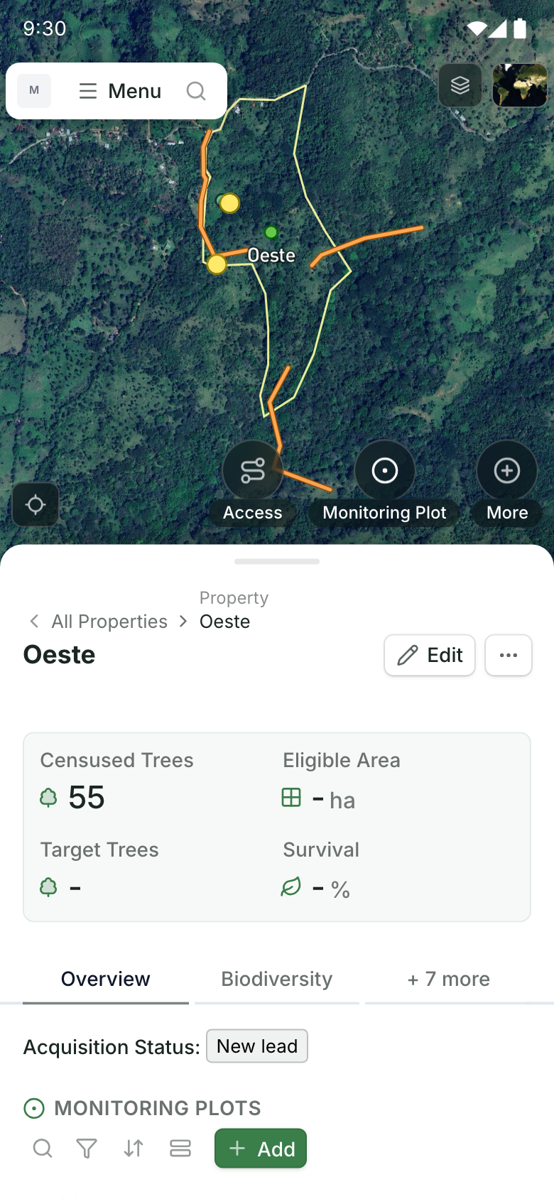
Use device location to see your position alongside work sites and monitoring plots.
Work offline, find your place on the map, and record what happens on the ground. Restoration Scope Field, our offline field data collection app, runs on iOS and Android.
Explore the mobile app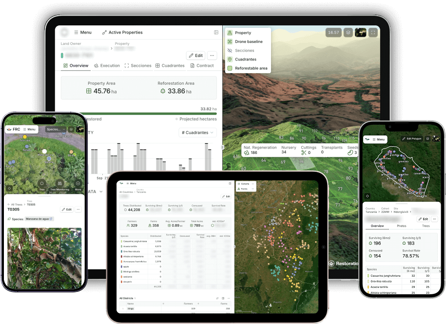
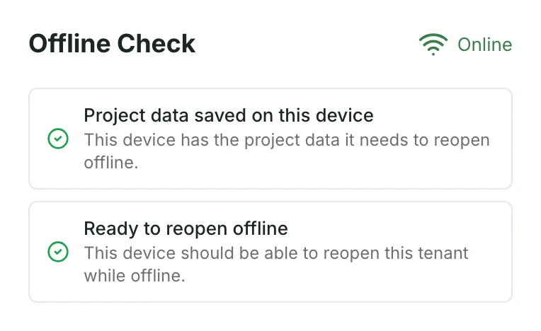
Load the latest project records and check offline readiness before heading out.
Record the work and keep photos saved locally, even without signal.
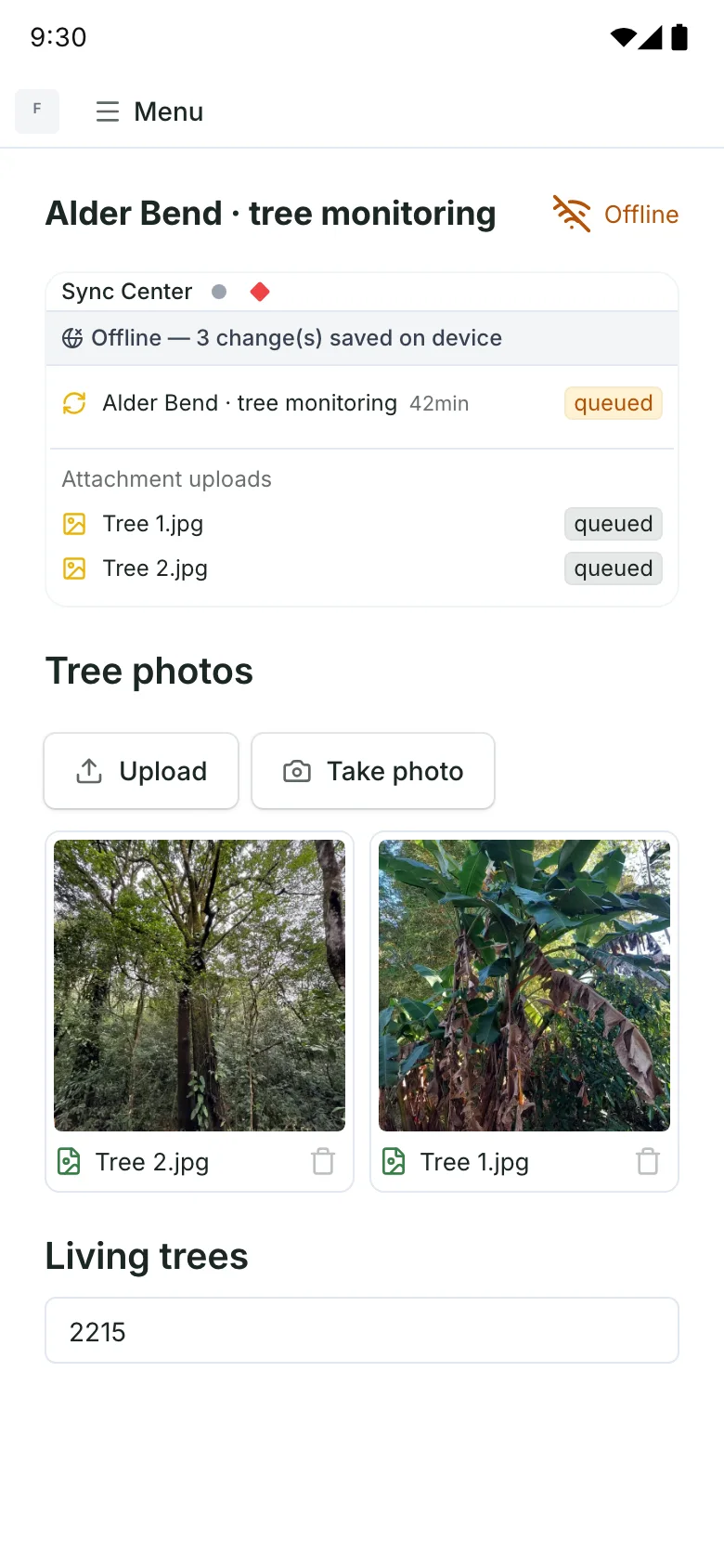
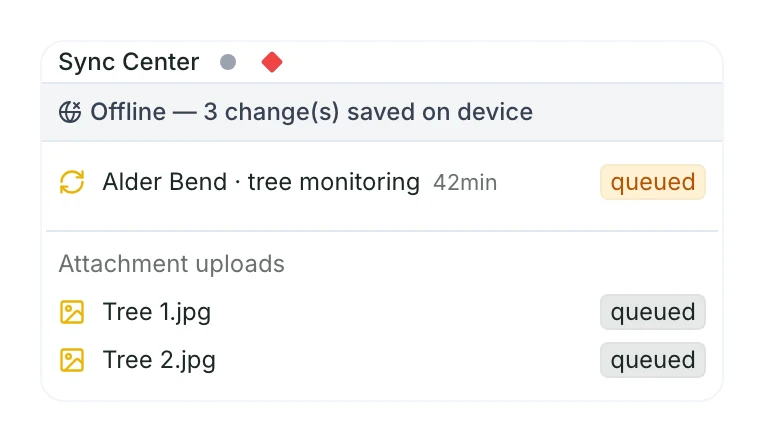
Sync saved records and photos to the project when you’re connected again.
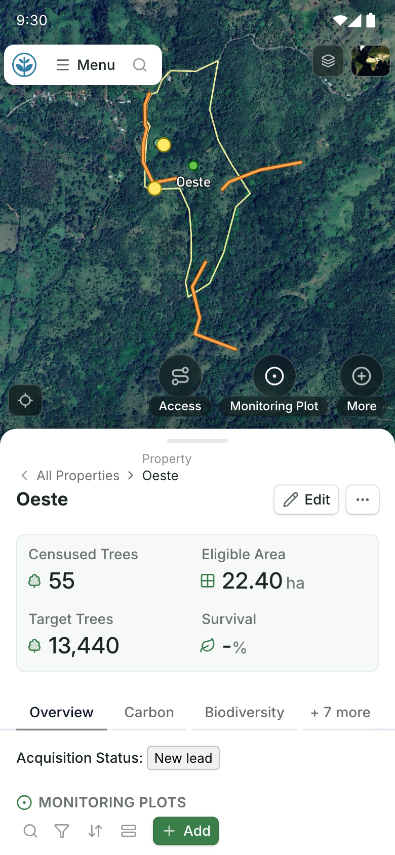
Find your place on the project map, then open the information you need on site.
Use device location to see your position alongside work sites and monitoring plots.
See its boundaries, recorded details and project status while you’re there.
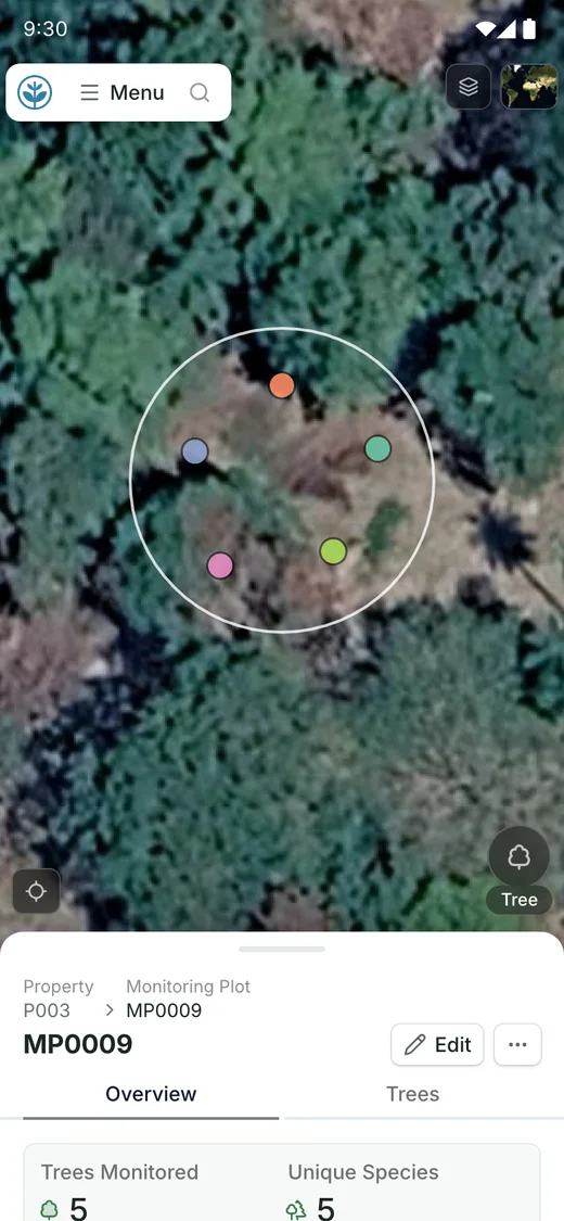
Record the locations, routes, areas and observations your project needs.
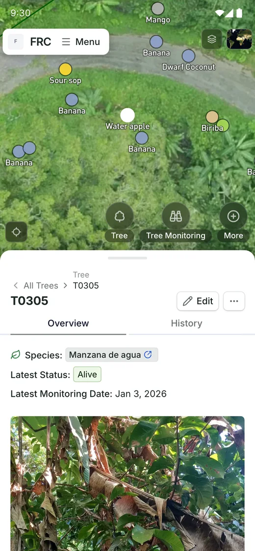
Mark a tree or observation and keep its coordinates with the record.
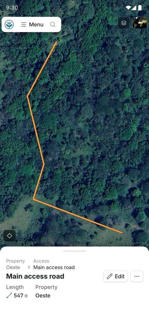
Record a road or firebreak, with its path and length.
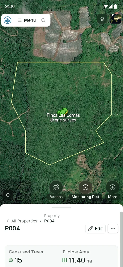
Draw a parcel or planting area and see the land it covers.
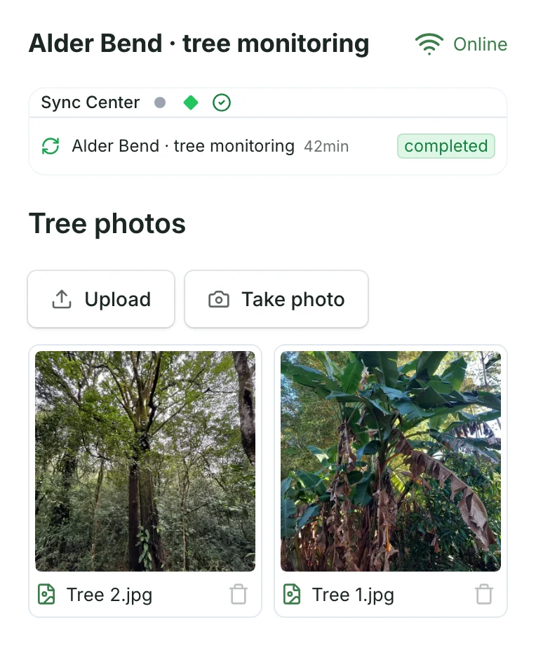
Attach photos to the field records or take photos wherever you are.
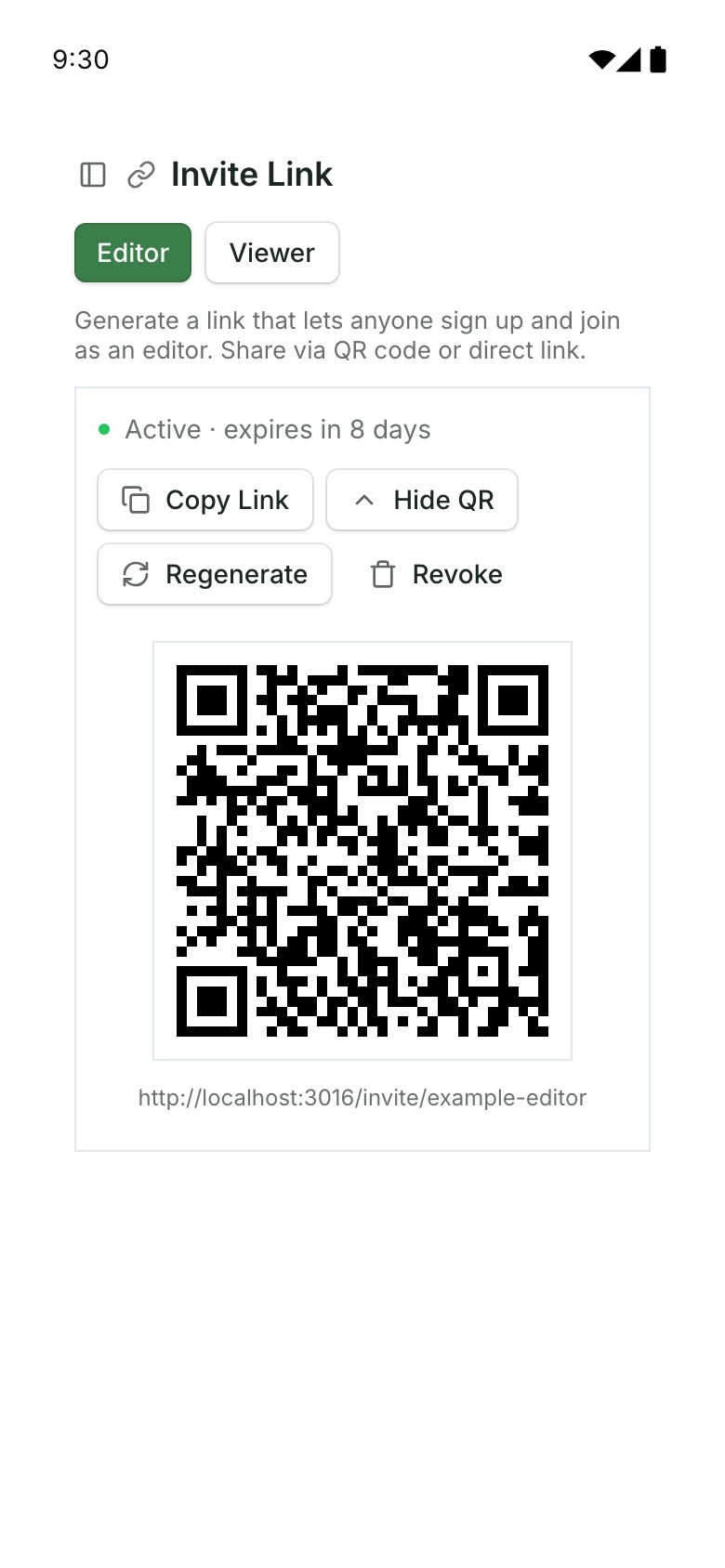
Scan a project invitation, sign in, and join with the access your team has chosen.
Open a record to find the actions configured for that work.
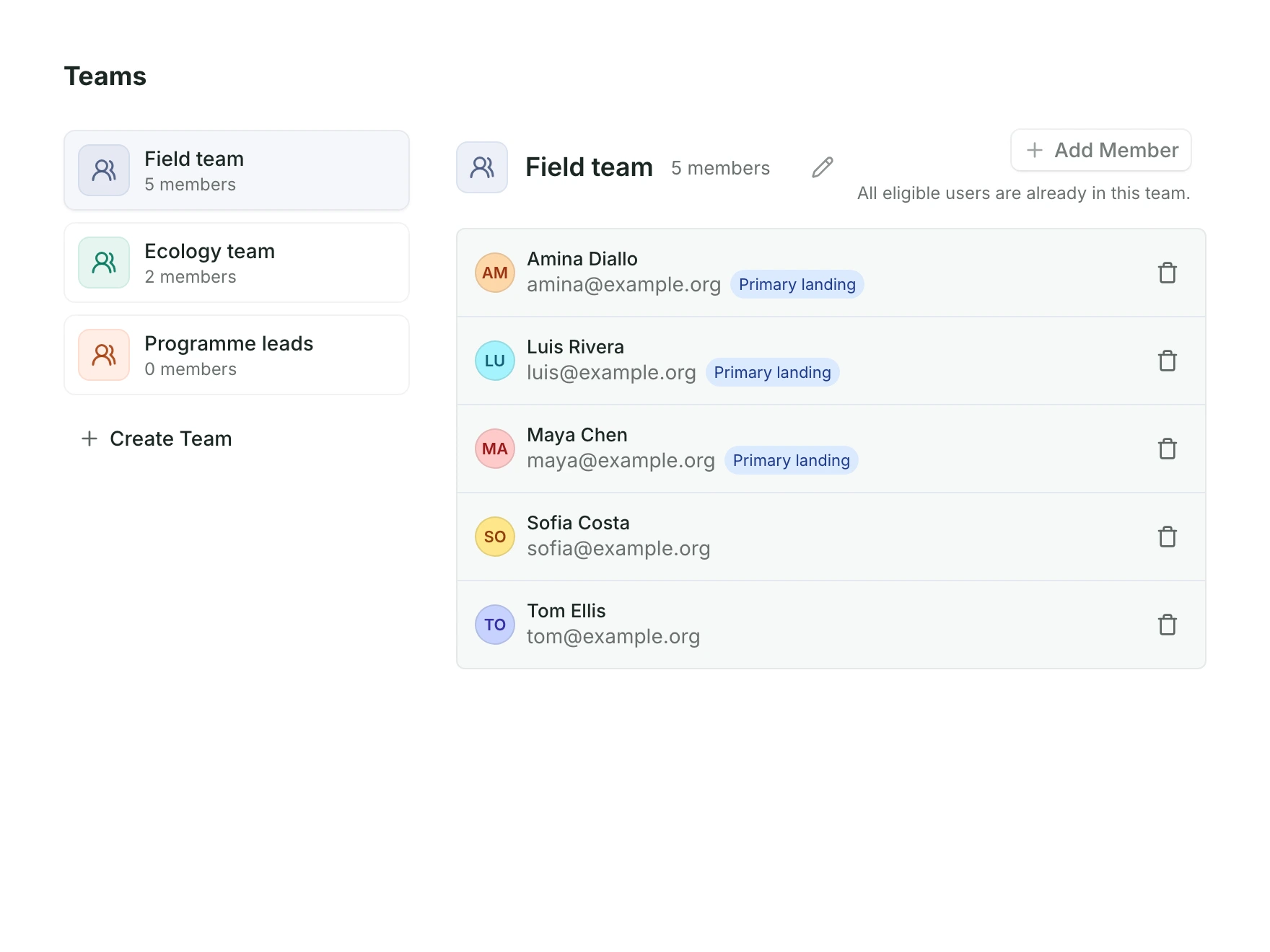
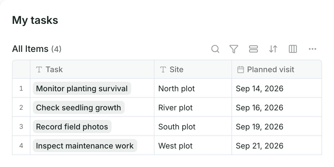
Group people into teams, assign tasks, and keep upcoming fieldwork in view.
All five record offline. Form apps are the simpler start for a single questionnaire; linking forms across visits is something your team designs. GIS apps suit teams that already run QGIS or ArcGIS. Restoration Scope Field suits teams that revisit the same sites every season and want the field data joined to the project, set up and maintained with them.
 Restoration Scope Field |  KoboToolbox |  ODK |  QField |  ArcGIS Field Maps | |
|---|---|---|---|---|---|
| Phones | iPhone and Android app | Android app (KoboCollect); web forms in a browser | Android app (ODK Collect); web forms in a browser | Android, iOS and desktop | iOS and Android |
| Works offline | Records, photos and map edits saved on the phone and synced on reconnect (how sync works); offline access set up with you | Yes, in KoboCollect and offline web forms | Yes, in ODK Collect | Yes; syncs through QFieldCloud or by cable | Yes, with maps downloaded for offline use |
| GPS points, lines and polygons | Draw on the map, or walk a boundary or take a point with GPS, with its accuracy shown in metres | Points, lines and polygons as form questions | Points, lines and polygons as form questions | Full GIS editing, with snapping | Features on ArcGIS map layers |
| Photos | Geotagged photos on records, kept on the phone until uploaded | Photo questions in a form | Photo questions in a form | Photos attached to features | Photo attachments on features |
| Forms | Set up with you: questions shown only when relevant, signatures, repeat groups | XLSForm or Kobo's form builder | XLSForm | QGIS attribute forms | Built in Field Maps Designer |
| Species lists | Your project's species catalogue, with taxonomy and IUCN status, set up with you | Choice lists in the form | Choice lists in the form | Value lists in the QGIS project | Lists set on the layer |
| Repeat visits | Each visit linked to its plot or tree, season after season | Linked projects your team designs | ODK Entities, which your team designs (Professional plan on ODK Cloud, or self-hosted) | Edit existing features, or add visits in related tables your team designs | Edit existing features, or add visits in related tables your team designs |
| Exports | Tables as CSV; shapes as GeoJSON or KML | XLS, CSV and GeoJSON; KML (being retired); photos as a ZIP | CSV with photos (ZIP), a live OData feed, GeoJSON through the API | Through QGIS, in any format it writes | Through ArcGIS |
| Who sets it up | We do, with your team | Your form owner | Your form owner; self-hosted or managed | A QGIS owner | An ArcGIS administrator; each collector needs an ArcGIS user type that can edit (Mobile Worker or higher) |
Restoration Scope publishes this comparison and is one of the options; no vendor paid to be included. Checked November 9, 2026 against each tool’s own documentation.
An offline field data collection app for iPhone and Android, made for reforestation, restoration and carbon project teams. Crews record trees, plots, boundaries, visits and photos with no signal, and each record syncs to the site, plot or tree it belongs to. We set up the forms, species lists and offline access with your team.
Yes. Load the project while connected, capture records and photos without signal, and sync them when you reconnect. See how offline sync works.
iPhones and iPads on iOS 18 or later, and Android phones and tablets on Android 7 or later. Restoration Scope Field is on the App Store and Google Play.
Points, lines, polygons and photos, through forms configured for the work: a tree, a firebreak, a planting area or an observation.
Yes. Each tree can carry its own ID, species, GPS point, photos and monitoring visits, captured offline. Tables export as CSV for your verifier.
They scan a QR invitation, sign in and join the project with the access your team has chosen.
Another question? Email us or book a call.
See how we set up the app around your project’s places, records and team.
Bring in the spreadsheets, field forms and maps you already use, and see every site in one place.