Acción Andina: One Monitoring System for 16 Partners in Six Countries
How Acción Andina's 16 partner organizations in six countries report into one monitoring system, and how funders see programme-wide numbers on one map.
A multi-country restoration nonprofit needs monitoring software that takes each partner's data as it comes, standardizes it into one shared structure, and publishes programme totals that people can explore down to each site. Restoration Scope, a monitoring platform for restoration programmes, does this for Acción Andina: 16 partner organizations in six Andean countries report into one system, organized by country, organization, landscape, project, season and site. Funders and the public read the numbers on Acción Andina's public portal, where each project carries its partner's name.
How do 16 partner organizations in six countries report into one system?
Acción Andina's 16 partner organizations report into one Restoration Scope workspace, where their records are combined, checked and linked to the map. Global Forest Generation brings funding, operational systems, communications support and strategic guidance; Acción Andina and ECOAN run operations with the partners along the Andes.
In 2024, 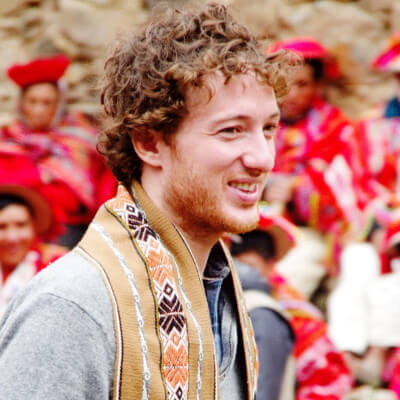 Florent Kaiser, co-founder of Acción Andina, said the network needed a better system: one place where anyone in the organization could see vetted numbers on a map and share them with funders and the public, owned by Acción Andina rather than rebuilt each year on other platforms.
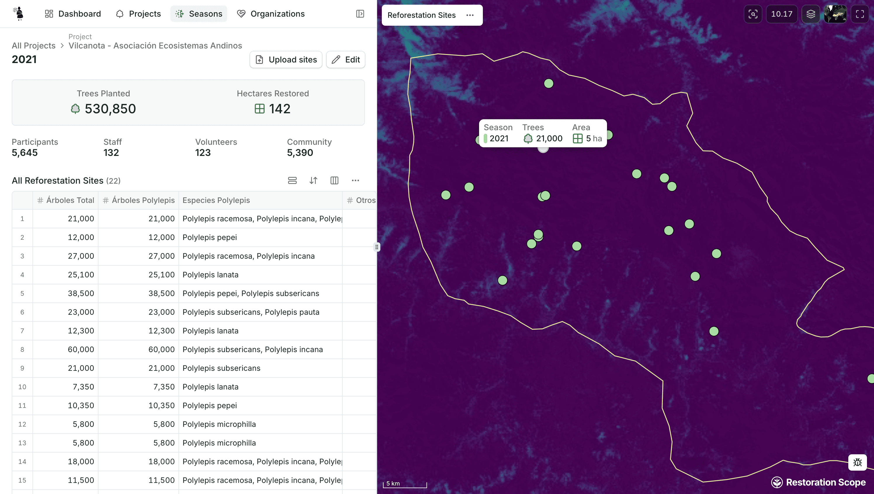
The starting point was thousands of carefully recorded field entries in spreadsheets: 120 seasons of data across 23 projects, some running since 2018. They covered nurseries, volunteer and community participation, planting events, monitoring plots, tree quantities and species, plus years of geospatial data gathered on the ground. Restoration Scope combined the datasets and linked each record to its place on the map.
Restoration Scope worked through one main point of contact on Acción Andina's operations team, 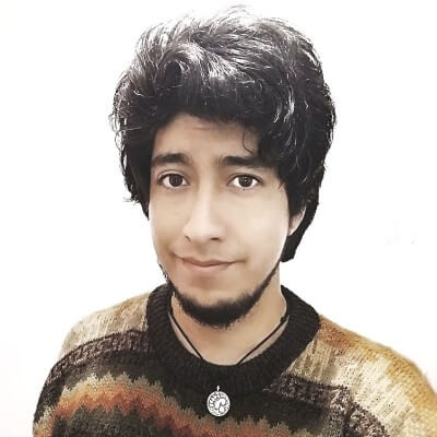 Adrián Torres. To make every shared number trustworthy, the monitoring team and the partners vetted the data, starting with five questions:
How many trees were planted?
How many hectares restored?
Which species planted?
When did the planting occur?
Exactly where in the map?
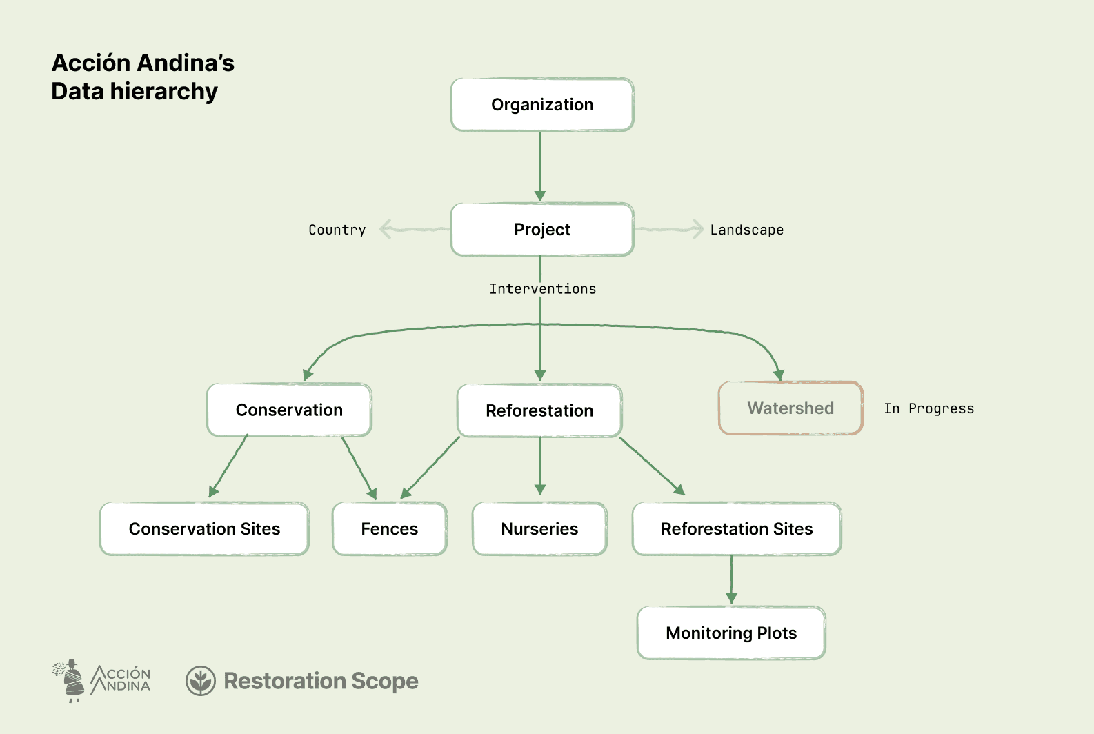
The main reporting hierarchy is Country → Organization → Landscape → Project → Season → Site. Acción Andina's team reads the same numbers at the scale of the continent or of a single planting site.
How does each country keep its own forms and language?
Acción Andina's partners were not forced into one form or one app. Restoration Scope adapted to the programme instead of imposing a structure, working with the monitoring team and partners to combine and standardize the data they already had. Each kind of record (project, reforestation site, nursery, community, season, species) has its own schema with the attributes Acción Andina cares about, and the structure follows the network's own terms and reporting needs.
Programmes that want partners to capture in the field get that too: Restoration Scope builds each form as a survey in its field app, which keeps saving with no signal, and the interface runs in English, Spanish or Portuguese.
How do funders see programme-wide numbers?
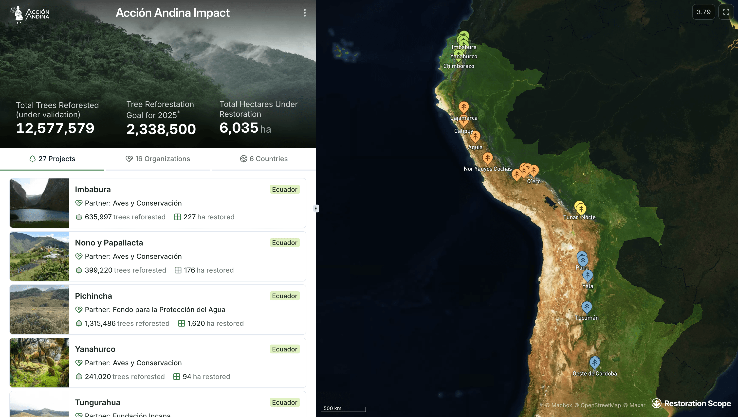
Funders see Acción Andina's programme-wide numbers on its public portal, built on Restoration Scope: programme totals first, then each project with its partner organization, on one map of the Andes. Funders and the public read it without signing in.
The portal reads from the same records the operations team keeps up to date, so there is no separate report to assemble and no manual reporting to third-party platforms. Visitors can explore the reported results by partner, project, season and site. The numbers are Acción Andina's and its partners'. See how Restoration Scope works for other programmes and portfolios.
What changed for field teams?
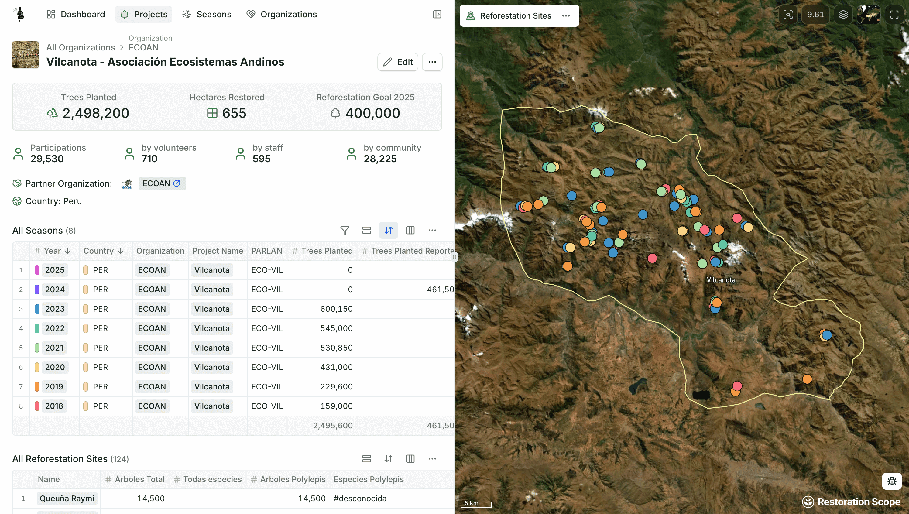
Acción Andina built the system so its operations team would stop answering the same question over and over and scrambling to produce yearly reports: anyone in the organization can open the map and find vetted numbers, from the whole network down to one planting site. A season page shows the trees planted, hectares restored and participants, with each site and its species on the map.
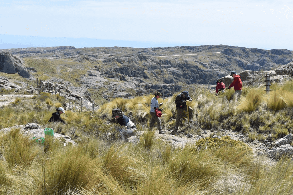
Partners' field work shows up under their own name, on the public portal as well as inside the network. Next on the list are community participation, drone imagery, monitoring report data, and work beyond planting such as fencing and watersheds.
What Restoration Scope replaces, and what stays Acción Andina's
For Acción Andina, Restoration Scope replaces spreadsheets combined by hand and yearly reports rebuilt on other platforms. It works beside the way each partner already collects data in the field. What stays Acción Andina's: the records, the decisions on what counts as vetted, the partner relationships and the numbers. For how other organizations set up reporting for funders, read how restoration organizations build a monitoring system for funders.
Many thanks to the whole Acción Andina team:  Stephanie Arellano for coordinating everyone, Adrián Torres and
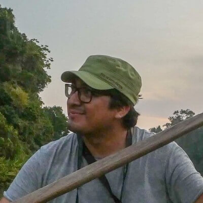 Víctor Sánchez for working with partners and vetting the data,
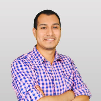 Jean Pierre Salguero and
 Abby Metzger for sharing the portal with the world, and
 Erin Lebbin, Florent, and Tino for stewarding this beautiful project.
Learn more about Acción Andina:
Critical Ecosystem Restoration in the High Andes | The Ecopreneurs Ep 3 | Acción Andina
Disclosure: Acción Andina is a Restoration Scope client. Restoration Scope builds and runs its monitoring system; the records and numbers are Acción Andina's and its partners'.
Frequently asked questions
What monitoring software works for a multi-country restoration nonprofit?
Software that takes each partner's data in the shape it already has, standardizes it into one shared structure, and publishes programme totals that people can explore down to each site. Restoration Scope, a monitoring platform for restoration programmes, does this for Acción Andina's 16 partner organizations in six Andean countries, organized by country, organization, landscape, project, season and site.
Do partner organizations have to change how they collect data?
Not in Acción Andina's case. Restoration Scope fit around the network's existing operations instead of imposing one form or app, working with the monitoring team and partners to combine and standardize the data they already had. Programmes that want a field app get one too; Restoration Scope builds the forms as surveys in its field app, which saves offline.
Can funders see a programme's numbers without an account?
Yes. Acción Andina's public portal, built on Restoration Scope, shows programme totals, then each project with its partner organization, on one map. Funders and the public read it without signing in, and it updates from the same records the operations team works in.
Who owns the data in a programme like Acción Andina's?
Acción Andina does. Restoration Scope builds and runs the system, but the records, the vetting decisions and the numbers belong to Acción Andina and its partners.
Another question? Email us or book a call.